Zip codes are an integral part of our daily lives, helping to ensure that mail and packages reach their intended destinations efficiently. But have you ever wondered how are zip codes decided? This comprehensive guide delves into the intricacies of zip code allocation, exploring the factors that influence these numerical designations.
Contents
The Basics of Zip Codes
Zip codes, short for Zone Improvement Plan codes, are five-digit numbers assigned to specific geographic areas within the United States. They were introduced in 1963 to streamline mail delivery and improve efficiency. Each zip code represents a particular region, ranging from small towns to large cities.
The Role of the United States Postal Service (USPS)
The USPS is responsible for establishing and maintaining zip codes. The process involves dividing the country into different zones based on various criteria, such as population density, mail volume, and geographic boundaries. These zones are further subdivided into smaller areas, each assigned a unique zip code.
Factors Influencing Zip Code Assignment
Several factors influence the assignment of zip codes:
-
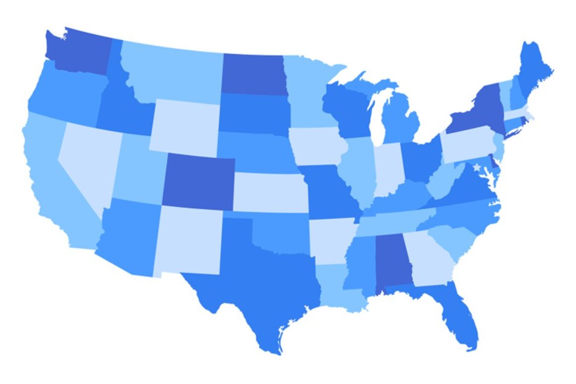
Geographic Location: The geographic location of an area plays a crucial role in zip code determination. Zip codes generally follow a logical sequence, with lower numbers assigned to areas in the Northeast and higher numbers assigned to areas in the West.
-
Population Density: Areas with higher population densities typically have more zip codes to accommodate the increased mail volume. Urban areas often have multiple zip codes within a single city, while rural areas may have a single zip code covering a larger region.
-
Mail Volume: The amount of mail processed in a particular area also affects zip code assignment. Areas with high mail volumes may have additional zip codes to ensure efficient delivery.
-
Transportation Routes: The USPS considers transportation routes when assigning zip codes. Zip codes are often aligned with major highways, railways, and other transportation networks to facilitate mail delivery.
-
Political Boundaries: Political boundaries, such as state and county lines, can influence zip code allocation. Zip codes often align with these boundaries to simplify mail sorting and delivery.
The Zip Code Hierarchy
Zip codes follow a hierarchical structure, with each digit representing a specific level of geographic division:
- First Digit: Represents a group of states or a large geographic region.
- Second and Third Digits: Represent a sectional center facility (SCF), a mail processing center that serves a specific area.
- Fourth and Fifth Digits: Represent a specific delivery area within an SCF, such as a town, city, or neighborhood.
Zip Code Changes and Updates
Zip codes are not static and can change over time due to various reasons:
- Population Growth: As populations grow, new zip codes may be added to accommodate the increased mail volume.
- Shifting Boundaries: Changes in political boundaries or transportation routes can necessitate zip code updates.
- Operational Efficiency: The USPS may periodically adjust zip code boundaries to improve mail processing and delivery efficiency.
How to Find Your Zip Code
There are several ways to find your zip code:
- USPS Website: The USPS website offers a zip code lookup tool that allows you to search for zip codes by address.
- Mail: Your zip code is printed on your mail, typically in the upper right corner of the envelope.
- Phone Book: Zip codes are often listed in the white pages of phone books.
- Online Directories: Many online directories provide zip code information.
Zip Code Extensions: The Plus-Four Codes
In addition to the standard five-digit zip codes, there are also zip code extensions known as plus-four codes. These four additional digits further refine the geographic location, representing a specific segment within a delivery area, such as a block, building, or group of apartments.
Zip Codes in the Digital Age
In the digital age, zip codes have expanded beyond their traditional role in mail delivery. They are now used for various purposes, including:
- Online Shopping: Zip codes are used to calculate shipping costs and estimate delivery times.
- Demographic Analysis: Zip codes are used to analyze demographic data, such as income levels, education levels, and consumer preferences.
- Targeted Marketing: Businesses use zip codes to target their marketing campaigns to specific geographic areas.
- Fraud Prevention: Zip codes are used to verify addresses and prevent fraudulent transactions.
Read More: Santa Google Tracker: An Exclusive Deep Dive into Google’s Festive AI Project
Conclusion
Zip codes are an essential component of our postal system, ensuring the efficient delivery of mail and packages. The process of assigning zip codes is complex, involving various factors such as geographic location, population density, mail volume, transportation routes, and political boundaries. Understanding how are zip codes decided can help you appreciate the intricacies of this system and its impact on our daily lives.


